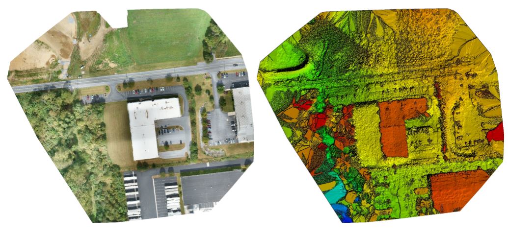
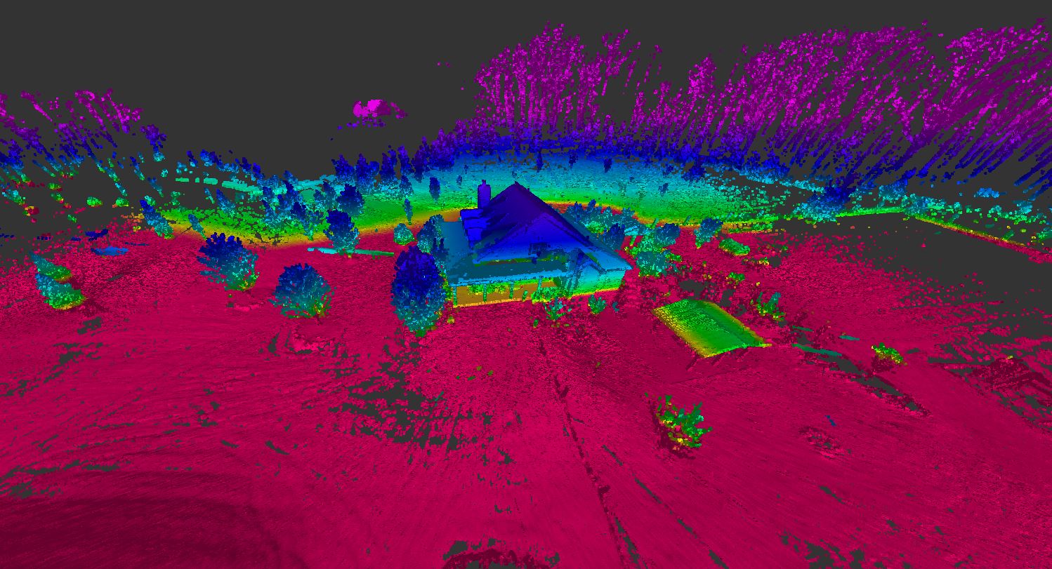
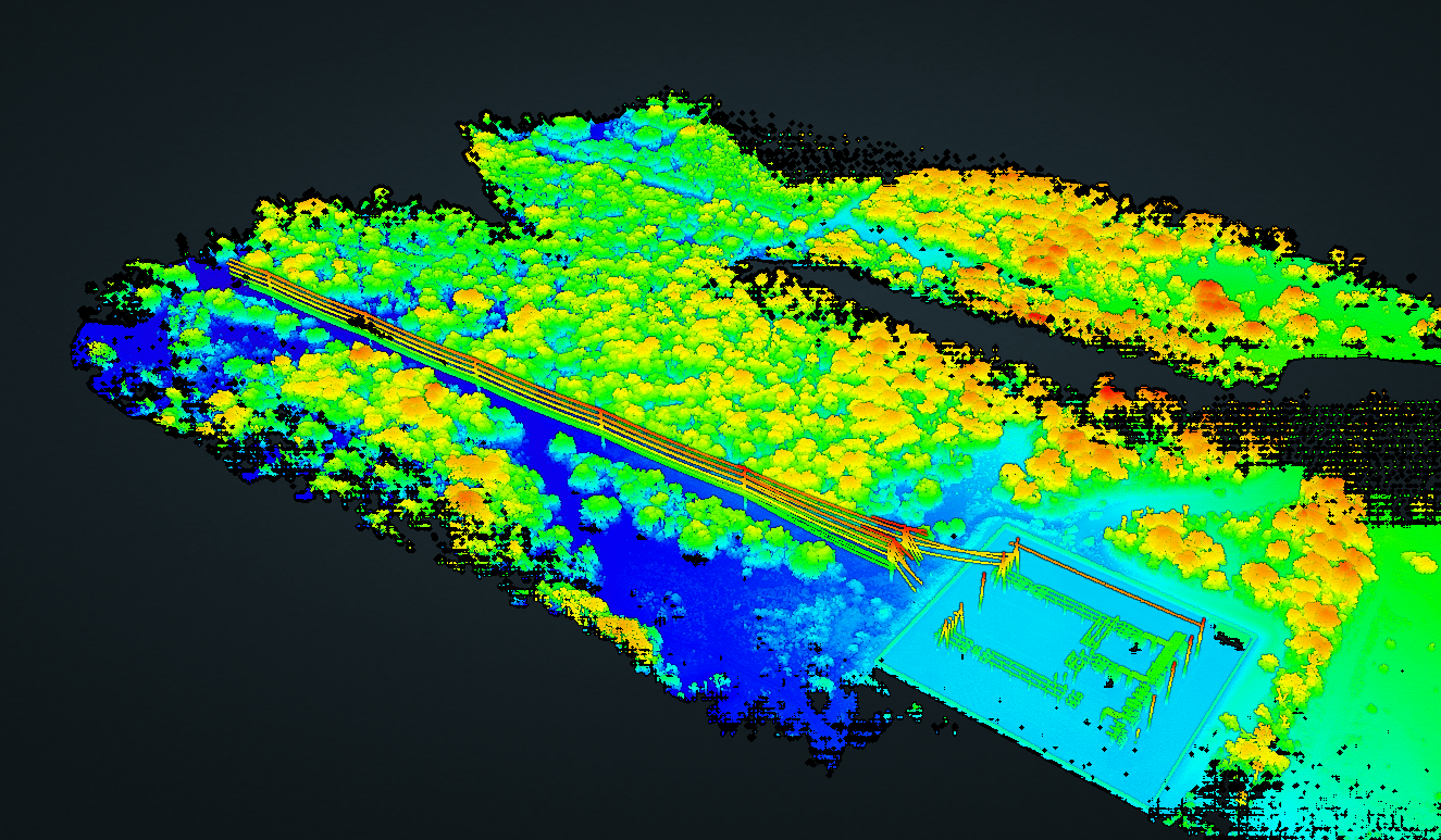
We pride ourselves on providing safe, cost effective, and intelligent solutions for your surveying, mapping, modeling, and marketing needs. Our survey grade UAV platform provides highly detailed digital elevation models using LIDAR point cloud data while capturing high resolution photography. Traditional land surveying support for our 3D planimetric and topographic product is compiled using the latest generation surveying robotic and GPS equipment.


