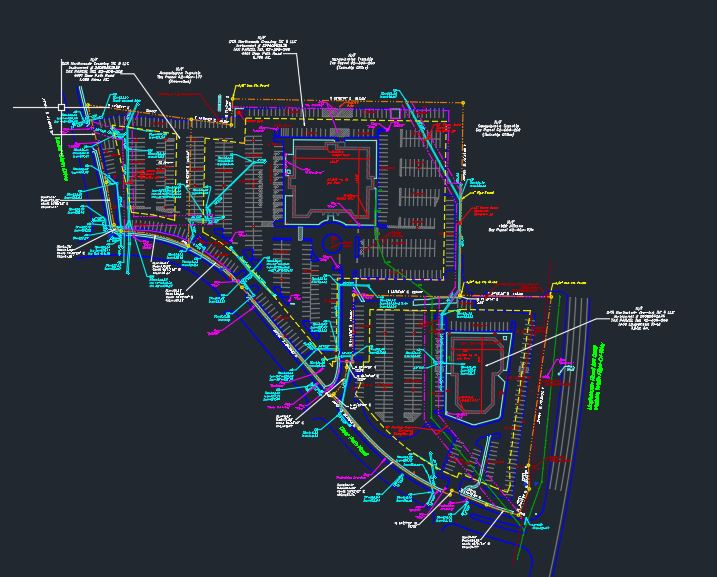
A planimetric survey and site plan is often a part of a topographic survey and always a part of an ALTA/NSPS survey. A planimetric survey/plan is a plan of an area showing only its horizontal features such as roadways, parking areas, buildings, above ground utilities and other “plane” features. The methods used to obtain the information depicted on a planimetric map can be collected from aerial digital photography, LIDAR aerial mapping and conventional land surveying techniques to deliver a solution to our client needs and accuracy standards.


