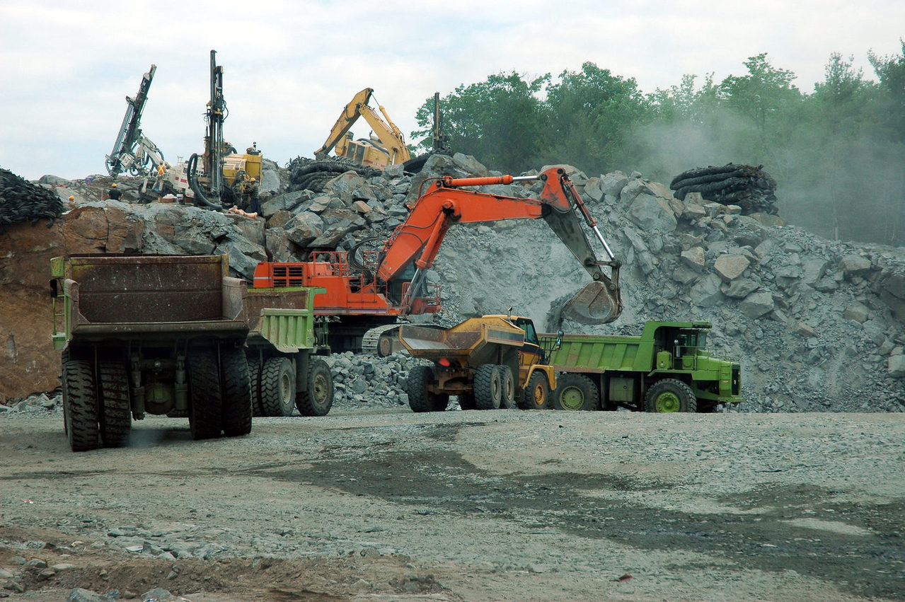
Volume calculations are critical to the quarying, land fill and excavation sectors. The mapping and reporting of open cut mines, quarries and landfills are usually required once every month. By utilizing the latest generation of information gathering equipment TerraViz can create a surface model by which volumes and material placing activities can be mapped and tracked on any site. The use of UAV flyover laser data, laser scanning technology and robotic total stations allow for site mapping, modeling and site condition presentation quickly and efficiently.


