TerraViz has a long history of working side by side with firms engaged in civil engineering design and site maintenance/as-built professionals. Our support services have proven to enhance our client’s ability to meet schedules and budgets while providing differentiating value. Our deliverables are client differentiated using the client’s CADD specifications that add value to our end users. Our use of LIDAR and laser scanning, enables us to quickly and cost effectively transform point cloud data to Civil 3D files. We have continually expanded our range of services to better serve our clients. With our following list of services, we are able to provide feature information for subsurface utilities, surface topography/planimetric details and boundaries.
A wide range of our services include the following:
- Boundary Surveys
- Topographic and Planimetric Surveys
- Utility Surveys
- Subsurface Utility Location Surveys
- Aerial LIDAR Mapping
- High Resolution Scanning
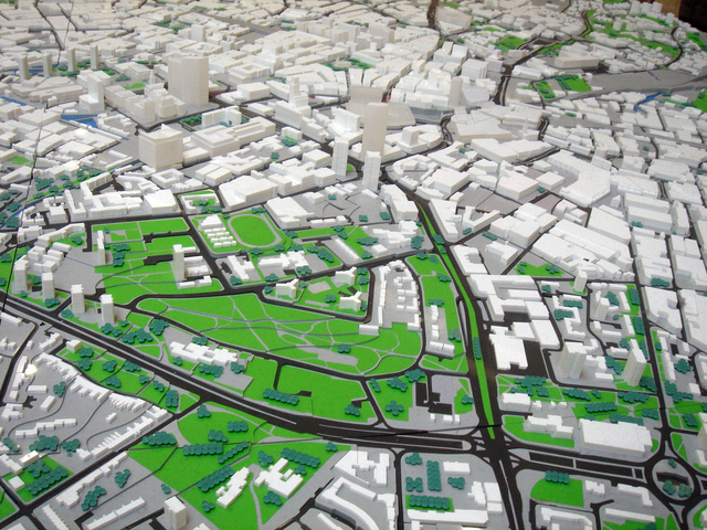
- 3D Modeling
- GIS Mapping
- Construction Feature Staking
By using high precision laser scanners, GPS, robotic surveying equipment and cutting edge software we are able add a level of accuracy to our deliverables never before achieved. Geospatial technology information gathering and reproduction is our specialty to service a wide range of clients.


