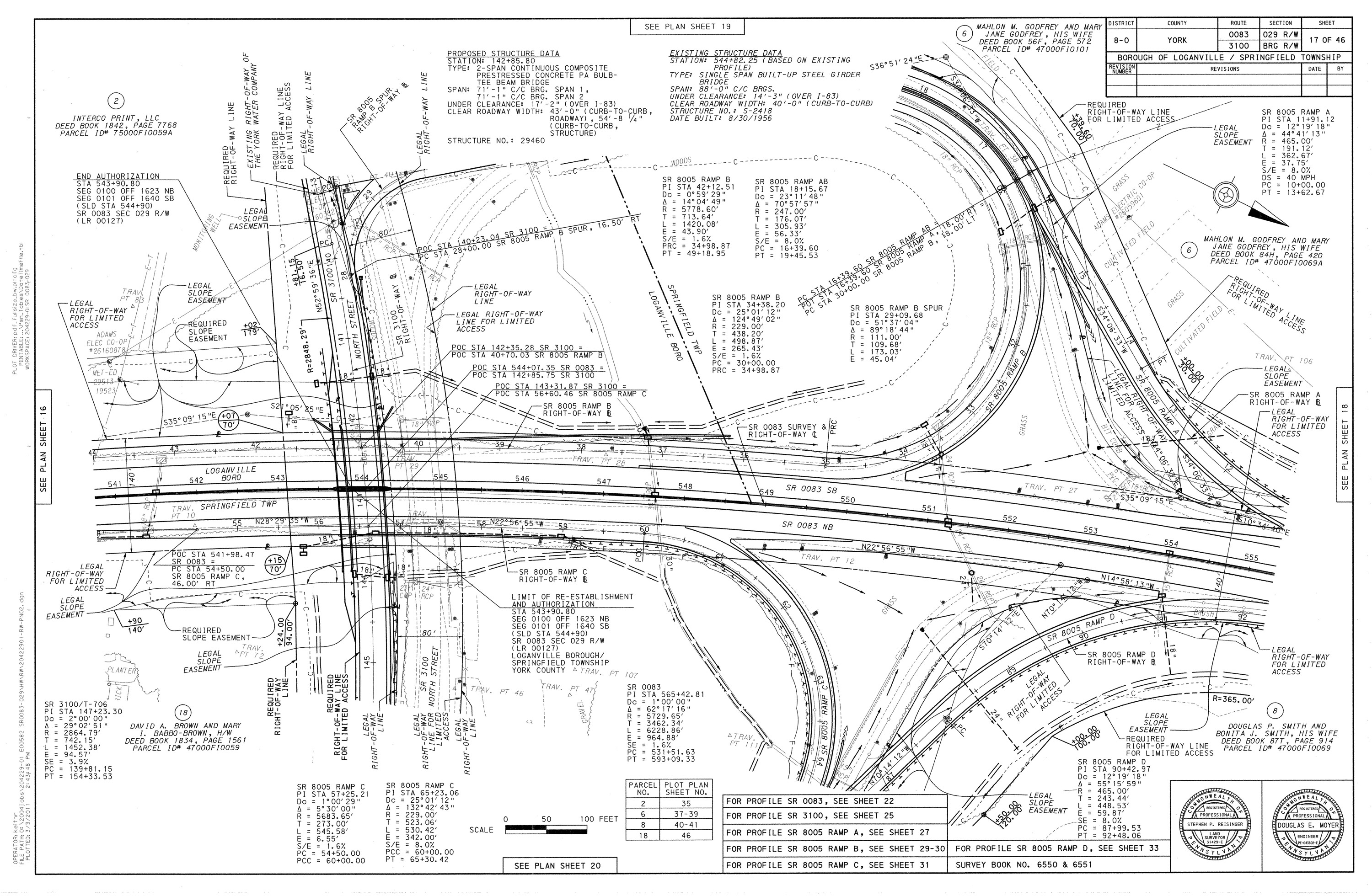
Traffic planning surveys and route surveys are the essential base upon which all traffic planning decisions are made. The solution that we are focused on is not the collection of volumetric data needed to effectively design future routes, intersections, traffic control and other aspects of the design and decision making process, but the collection and presentation of geospatial data. TerraViz Geospatial with the use of uas lidar mapping, conventional on the ground data collection we providing planners with the tools they need for the traffic engineering process. Traffic planning surveys most often involve urban traffic areas and at times, mapping for the design of new highway routes. It is our responsibility when conducting a traffic planning geospatial survey to also include property line surveys, utility surveys, surveys of existing easements and surveys of existing street right-of way lines. TerraViz uses 3D laser scanning and 3D modeling in conjunction traditional data collection methods in high traffic urban areas to collect a far greater amount of data than was previously the industry standard.


