Cell Towers

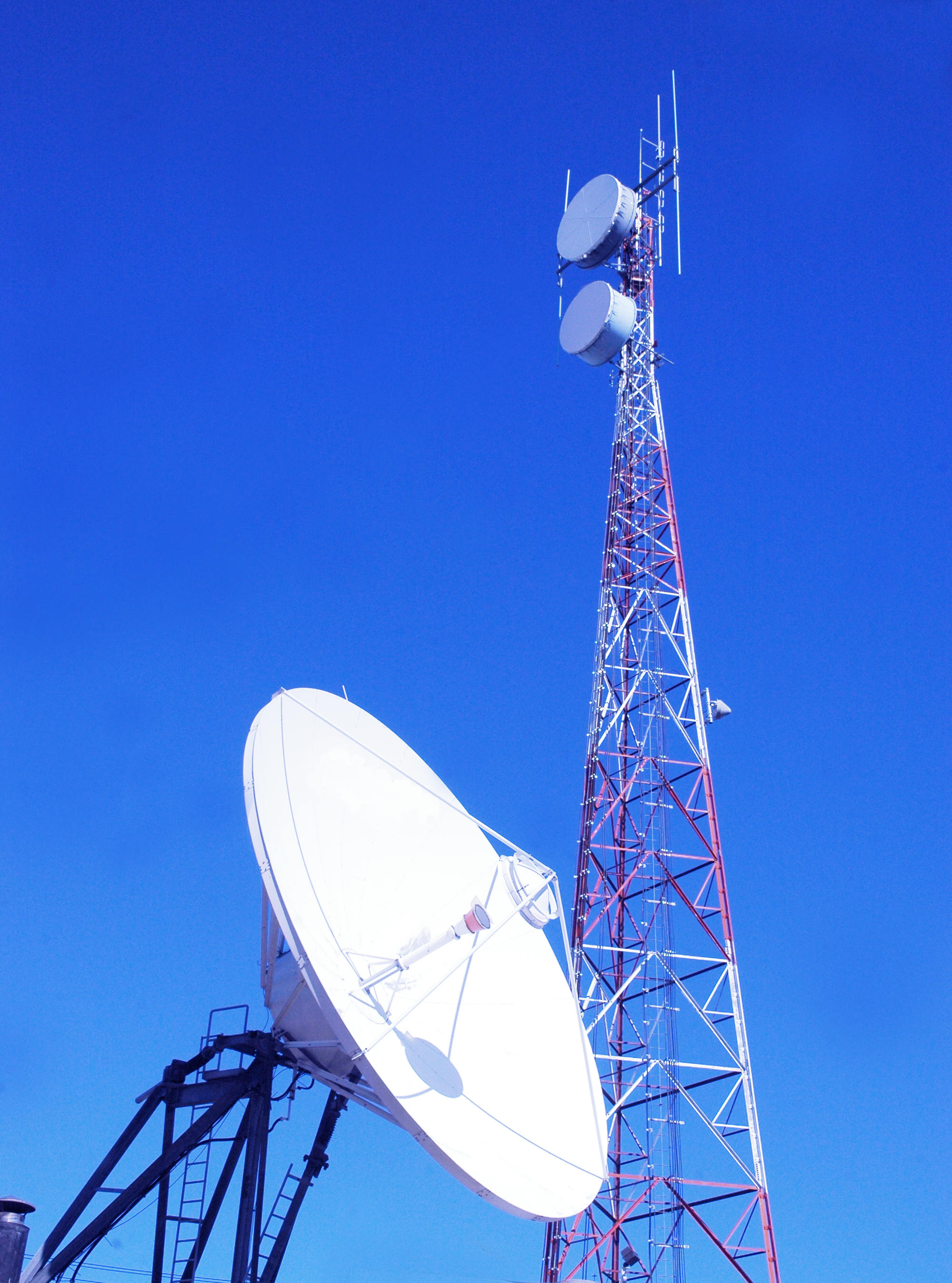
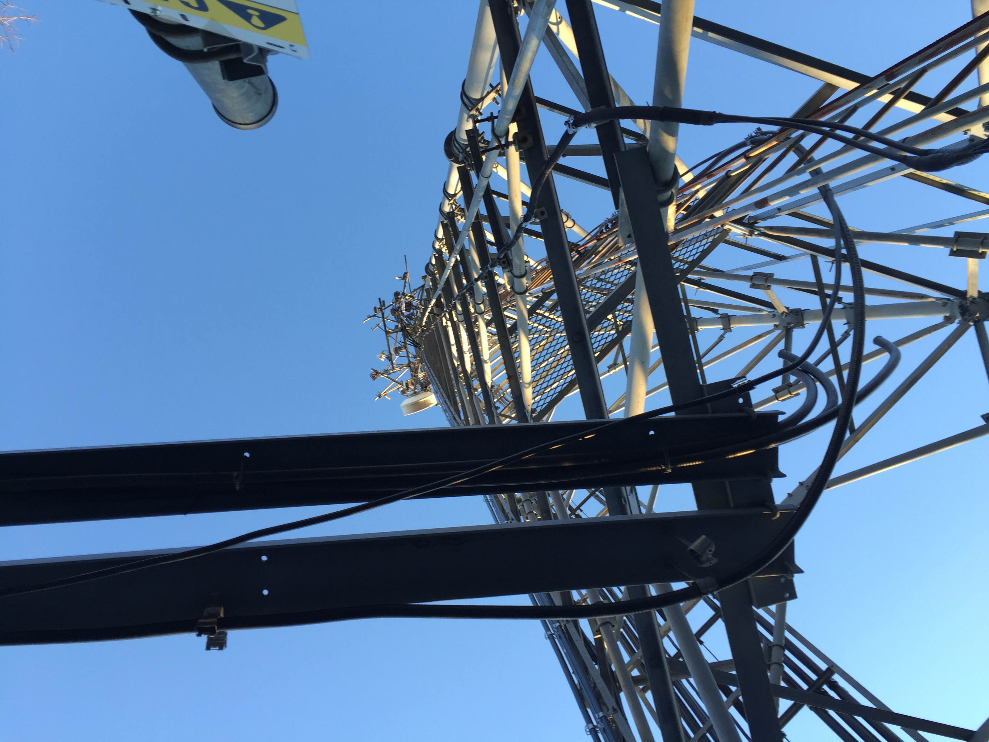
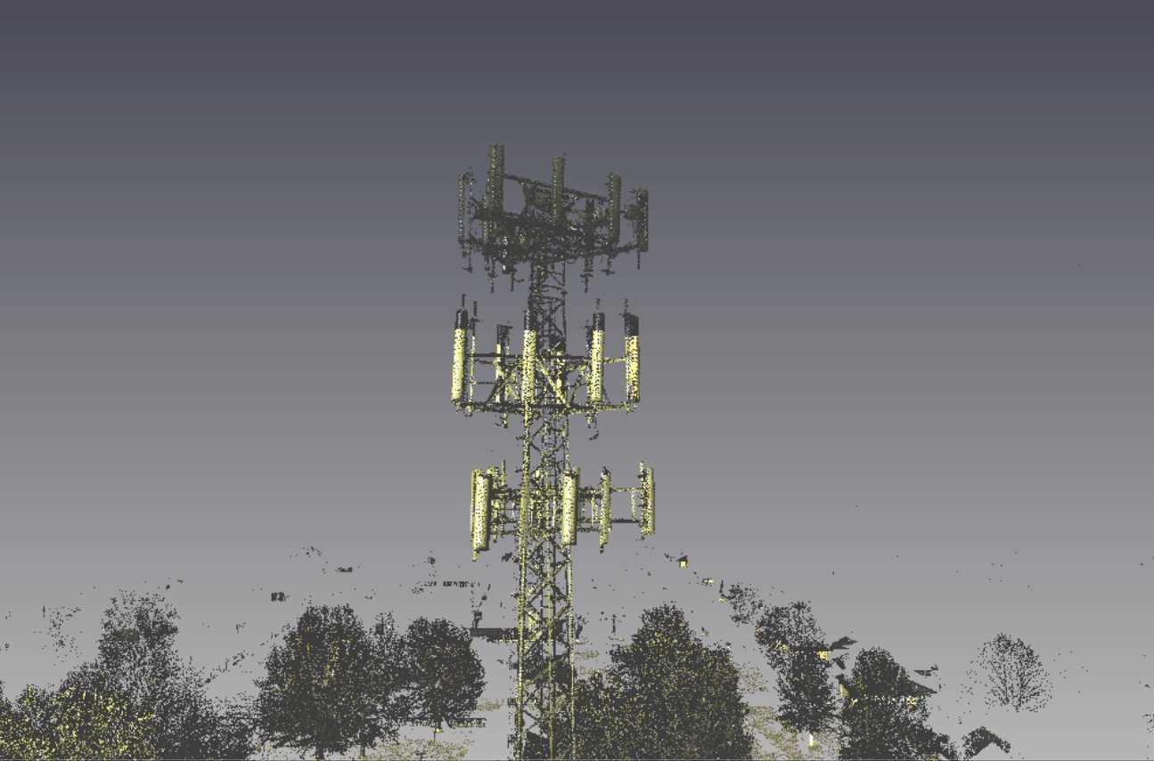
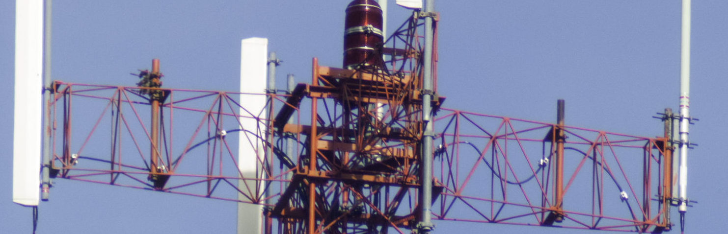
Long range 3D scanning is essential for mapping and modeling of existing or proposed sites for telecommunication towers or telephone lines. TerraViz Geospatial provides speedy, accurate and cost-efficient surveys and 3D scans services for the Telecom industry. Spatial data during these surveys is useful in finding ideal locations for telecommunication equipment (both the towers and paths), and its 3D modeling and topographical mapping abilities help to ensure that the infrastructure will function as designed. Additionally, even after successful telecommunication construction is complete, laser scanning is instrumental in troubleshooting and maintenance. Laser scanning is capable of determining the size and position of antennas on cell towers without surveyors needing to gain access to the tower. Understanding bolt location and size can also facilitate tower upgrades. Scans are typically performed from the ground quickly and accurately. Scans can be used to produce an inventory of antennas / telecommunication equipment. It is safer and quicker and, more cost-efficient. Using point cloud technology, either 2D plans or 3D Revit models can be delivered.

Related Solutions

  • Boundary Surveys

    Boundary surveys have been an integral part of the surveying industry for hundreds of years. Why and when you need a survey becomes obvious...

    Learn More

    Topographic Surveys

    Creating solutions for design and interpretation of the 3dimensional surface of the earth requires a topographic survey. TerraViz uses the latest generation in technological...

    Learn More

    Structural Scanning/3D Modeling

    High Definition 3D Laser Scanning – Laser scanning is ideal for 3D modeling of large-scale scenes, both indoor and outdoor. Facility Managers can now...

    Learn More
  • Utility Route Surveys

    Route surveys are an essential step in the pre-construction process for pipelines, roadways, transmission lines and other utility routes. TerraViz Geospatial has years of...

    Learn More

    As-Built Survey Mapping

    As-built surveys are a critical component of many markets. Our as-built deliverables are created for the professional in any format that meets the client...

    Learn More

    Sub-Surface Utility Locations

    Our goal at TerraViz Geospatial is to provide Engineers, Architects, Contractors and private property owners with utility location and mapping services to help our...

    Learn More
  • UAV LIDAR Mapping

    We pride ourselves on providing safe, cost effective, and intelligent solutions for your surveying, mapping, modeling, and marketing needs. Our survey grade UAV platform...

    Learn More

    Site Construction Layout

    TerraViz provides critical solutions to the construction industry. From site layout to foundation and steel erection, the first professional on a construction site is...

    Learn More